Satellite Image Segmentation with MRF
Markov Random Field
Dataset
20 images aquired with the IKONOS Satellite.
(http://www.satimagingcorp.com/satellite-sensors/ikonos.html)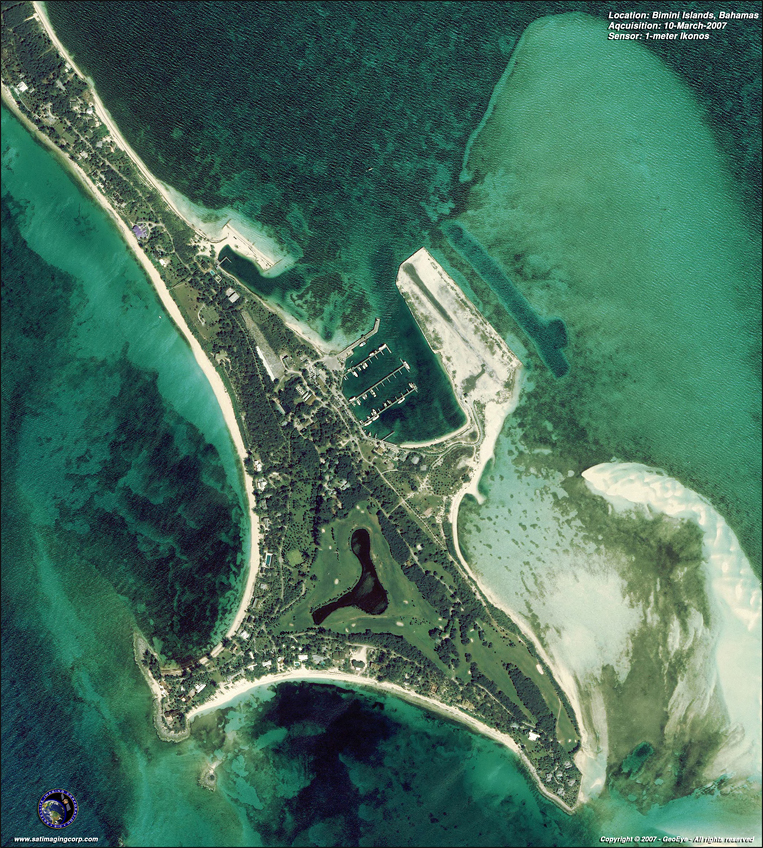

(http://www.satimagingcorp.com/satellite-sensors/ikonos.html)
Step 1: Image Segmentation
The RGB image was converted to L*u*v color space
Two unsupervised methods were used:
- MRF segmentation ( Kato et al. )
- EM step
- ICM
- K-means
Parameters:
User defined: # of regions, â, temperature.
Step 2: Class Characterization
- User defined
- User chooses the desired region for classification
- The first order statistics (mean, variance, skewness, kurtosis, range) are calculated for a ROI around the selected image Automated
- Skeletonization technique was applied for each segmented region
- A sliding ROI (21 x 21) was used to extract first order statistics
- K-nearest neighbor classifier was used (NN)
- Segmented area is also calculated
Features evaluated
Segmentation Stage:
- Intensity value channel U
- Intensity value channel V
Classification Stage:
- Mean value
- Standard deviation
- Kurtosis
- Skewness
- Range
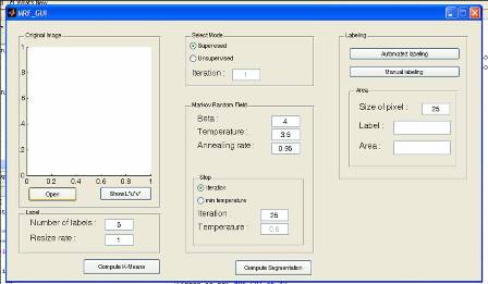
GUI
Comments
Segmentation Stage:
- Visual evaluation seams to present good results
- No serious evaluation was conducted
- Segmentation process is painfully slow
- Dataset is too small to construct robust learning process
Future developments
Segmentation process:
- Evaluation of more complex techniques
Classification process:
- Bigger training database
- Other texture features
- Try different classifier
Evaulation:
- Use of ground truth and shape differensiation metrics